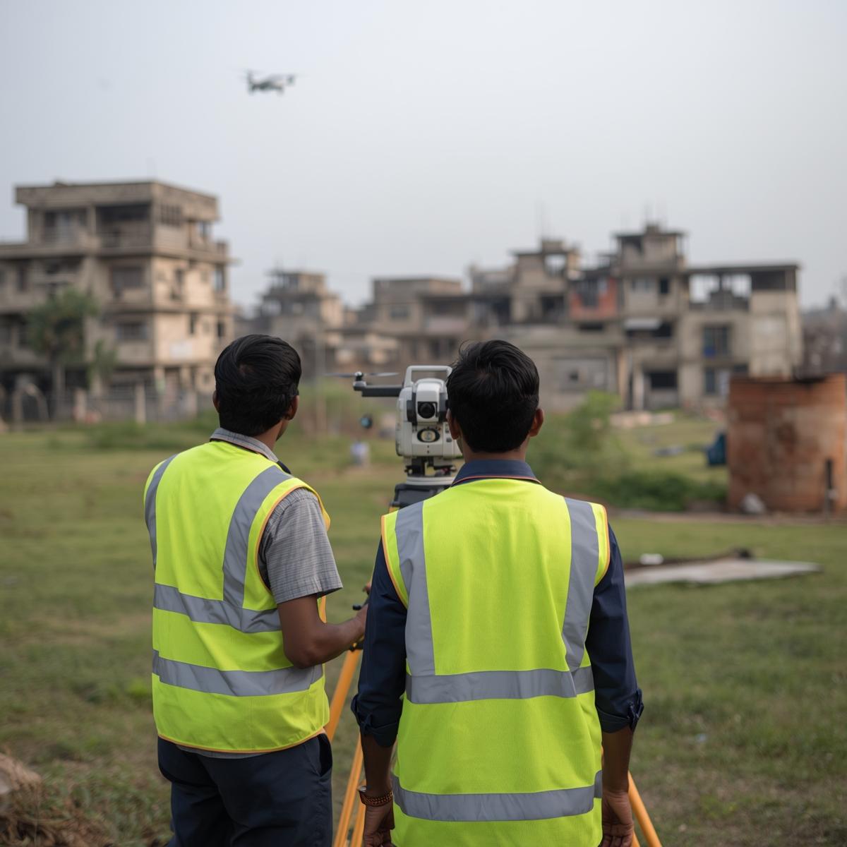
Providing dependable geographic data and innovative planning solutions for Bangladesh's long-term prosperity


Visit Us To Know More

WHO WE ARE?

GEOPRECISION TECHNOLOGY LTD. a Bangladeshi enterprise ensure accurate and necessary information about cadastral matters in Bangladesh and providing the best Survey & GIS solution. Our services are collective with an extensive knowledge of planning, development, feasibility study, and environmental compliance. We are maintaining potential working relationships with our clients as well as regulatory and governmental personnel. This ensures the prompt and effective execution of your engineering needs.

Photo 1

SECTORS

Urban Planning
Urban Planning and Design
Survey, GIS Mapping and Remote Sensing
Climate Change
Climate Change Adaption and Disaster Risk Reduction
Energy
Feasibility and Detailed Design
Software Development
Software and Application Development
Web GIS Application Development
Modelling and Simulation
Capacity Building
Capacity Building

SERVICES

URBAN PLANNING

FEASIBILITY STUDY

LAND PLANNING SERVICES

UAV MAPPING & SURVEYING

HYDROLOGICAL SURVEY & ANALYSIS

SOCIO-ECONOMIC SURVEY

GIS ANALYSIS & MAPPING

CADASTRAL SURVEY & SOLUTION

OUR TEAM

Md. Rashid Sahriar

Md. Rashid Sahriar

Cheif Executive Officer

Mushfiqur Rahman Chowdhury Seam

Mushfiqur Rahman Chowdhury Seam

Managing director

Golam Muktadir

Golam Muktadir

Chief Technology Officer

Harun-OR-Rashid

Harun-OR-Rashid

Chief Marketing Officer

Contact us for expert solutions in cadastral data, surveying, GIS, and Remote Sensing—providing precision and dependability throughout Bangladesh."

CONTACT US